St. Louis (More History)
This morning I walked back down to Gateway Arch National Park. I decided to forgo the tram ride to the top of the arch. I couldn’t see the point. I was more interested in the museum that is tucked into an underground space just in front of the arch. It has to be said, before this was home to the Gateway Arch, and before it was a thriving riverfront, the location held mounds left by the Mississippian people who inhabited this area in prehistoric times. No remnant of those mounds remains, the earth having been either flattened or removed for various projects. Most sources point out that similar mounds were preserved in nearby Cahokia, IL. As if the preservation of one sacred site can somehow mitigate the destruction of another.
The museum itself is very well done, and highlights some history that has yet to be covered in this blog. A main theme of this museum was questioning the morality and ethics of land acquisition. A large board in the main corridor proclaimed that “Every square mile of land in the Americas once belonged to American Indians. Since the first Europeans set foot on the continent, land was taken by treaty, occupation and warfare.” That is the boldest and most courageous statement I have seen yet. The curators of this museum are to be applauded.
As discussed in yesterdays blog post, St. Louis was first settled by the French. In 1763 , Louisiana's French governor, keen on spurring trade with Missouri River Indian tribes, granted Maxent, Laclede & Co. the right to establish a fur trading post on the Western bank of the Mississippi River. A group loaded up barges and poled up the Mississippi River, landing at the confluence of the Mississippi and Missouri rivers. They eventually selected a site 18 miles south, atop limestone bluffs along the Mississippi. For a while things were peaceful as the French traded with the Osage Nation as well as The Ioways, Kansas, Otos, Pawnees, Poncas, Omahas, and other tribes. In due time, the trading post became a village, then a city, named for King Louis IX of France, the crusader saint. Like other inland settlements, St. Louis prospered because of its location at the confluence of two great rivers, the first super highways.
Fully one third of St. Louis’ early inhabitants were enslaved. However, it is worth noting that Spanish slavery differed from that in Great Britain and the United States because it was rooted in Roman law. Slaves had the right to own property and were allowed to work for themselves on feast days and holidays, earning money which could be saved and eventually used to buy their freedom. The church was not segregated, and a slave's testimony was admissible in court. It could be argued that their situation was, perhaps, a bit more humane and an exit strategy was at least possible. As well, a small number of free Blacks lived in the area as Spanish citizens with full rights.
With the Louisiana Purchase - the bizarre transfer of the lands from Spain to France to the U.S. consummated in 1804, both enslaved persons and women lost rights and were subject to greater oppression. The Native peoples fared no better. Initially U.S. Forts were built along an imaginary border separating Tribal settlements from American settlements. The new western reservation contained both western tribes and those that had been moved from the east by the government. By the 1850s, the massive overland migrations to Oregon and California made the idealized Indian frontier obsolete. The government began shrinking Indian lands once more as Kansas and Nebraska were opened to settlement.
Because I did not methodically begin to visit history museums until a couple of months into this trip, some major southwest and western events have not yet been described. That accidentally works out rather well as I can now address them in their correct chronology. Some of the main events leading to the settlement of the Western U.S. are highlighted in this museum because St. Louis was a springboard for explorers and settlers heading the West, the most famous of which was the Federally funded Lewis and Clark expedition .
In 1803, Jefferson asked his secretary, Meriwether Lewis, to lead a mission to find an overland route to the Pacific and to stake a claim to the Northwest. Ideally, they hoped to find and “inside passage” - some sort of waterway that stretched to the West Coast. Lewis asked his former military commander and friend, William Clark, to join him. Congress was persuaded to fund the expedition "for purposes of commerce." In May 1804, Lewis, Clark, and a crew of about 50 set out from the St. Louis area up the Missouri River. The explorers gathered information on geography, natural resources, Native Americans and trade. Unfortunately, after crossing the Continental Divide, they were met with mountain ranges rather than an East-West river that they had hoped for. They persevered, arrived at the Pacific Ocean, and established a claim to Oregon Country (now Idaho, Oregon and Washington) for the U.S. They returned to St. Louis in September 1806, having gathered considerable scientific information about the country’s natural resources and about inhabitants.
Of course, the problem with Jefferson’s vision of westward expansion was that it viewed the West as an empty place to be filled by Anglo-Americans, when in fact it was already inhabited by a vast number of Native tribes as well as French and Spanish settlers.
In 1836 tensions escalated with Mexico after Texas declared itself to be an independent republic, the first step that eventually led to the Mexican-American war. After an annexation resolution by the U.S. Congress in 1845, Mexico severed diplomatic relations. In addition, President James Polk desperately wanted to add California to the U.S., which, in addition to making the U.S. the dominant continental power, would allow access to the Pacific Coastline and trade with Asia. In 1846 war was declared and in just over a year Mexico City was captured. Defeated, Mexico ceded its rights to the contested lands, for which the United States paid $15 million. Ratification of the Treaty of Guadalupe-Hidalgo in 1848 gave the U.S. continuous lands across the continent to the Pacific Ocean. This treaty ceded all Mexican lands north of the Rio Grande and Gila rivers, over a third of Mexico, to the U.S. Interestingly, many Americans, among then Ulysses S. Grant of Civil War fame, opposed the war as unjust, and an excuse to expand slave territory in the U.S.
The Mexican-American war was yet another precipitating event leading to the Civil War. While California was admitted to the Union as a free state , it was still geographically separated from the contiguous U.S. states in the East, South and Midwest. As such, it mostly supported the Union efforts with gold rather than troops.
In the 1840s through the 1860s, large groups of people began moving West, seeking land, fortune and religions freedom. Oregon and California were advertised as regions containing fertile farm land - if one could just get through the deserts and mountains that lay between the midwest and the west coast. The Mormons, forced to leave Nauvoo, Illinois because of persecution, sought religious freedom in Utah. And after the discovery of gold in California in 1848, large numbers of people from all over the world made their way west in an effort to get rich quick. Subsequent gold rushes also spurred westward expansion, first in 1850 in Colorado Territory and then again in 1859 at the Comstock Lode in Nevada Territory.
Sadly, history continued to repeat itself. For example. many of the first settlers in Oregon were Christian missionaries. The diseases carried by these early settlers and decimated native populations and led to deep distrust, suspicion, and fear of the Americans. This was poor repayment for the assistance many native peoples provided to the pioneers, many of whom were wholly unfamiliar with the dangers they could be facing as they traveled west. The wagon trains disrupted buffalo migrations, and left waste and debris in their wake. Predictably hostilities grew with each wave of settlers. When the first Europeans arrived in North America in 1492 the population of indigenous inhabitants was estimated to be between 9-12 million. By 1890, most of the remaining 248,000 lived on scattered reservations.
Disruption of trade routes along the Mississippi River during The Civil War and the eventual rise of the trans-continental railroad network marked the end of St. Louis as a dominant location for western Trade. The once thriving riverfront fell into disuse and disrepair. Even construction of the Eads Bridge, one of the first important steel structures, across the Mississipi in 1874 was not sufficient to rescue the demise. It might have hastened it, as it provided a way to reach the increasingly important city of Chicago by land rather than by water.
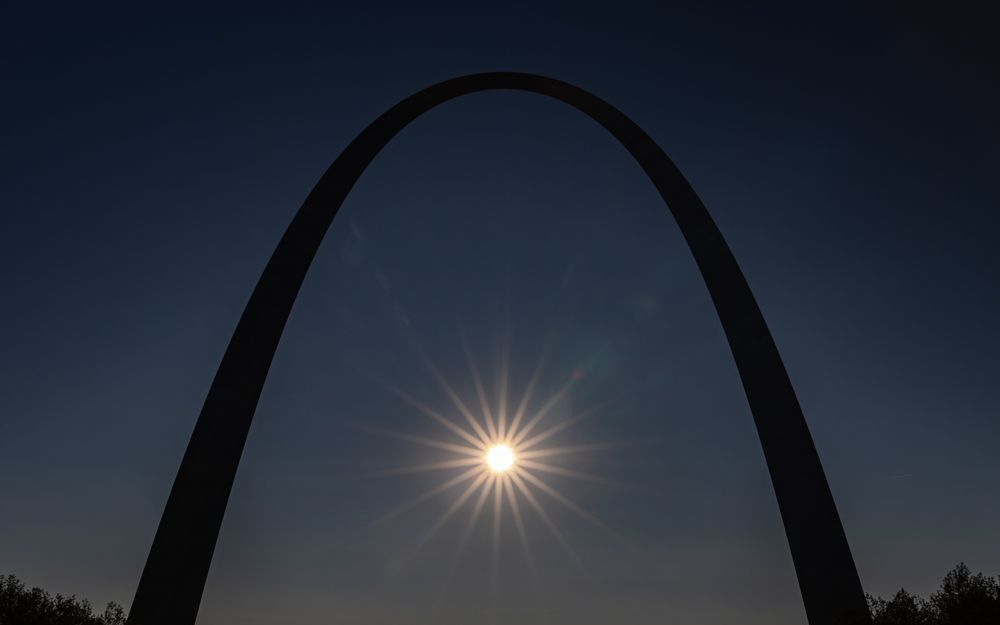
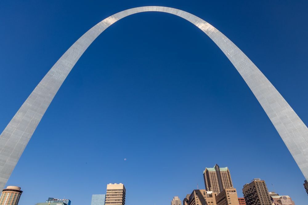
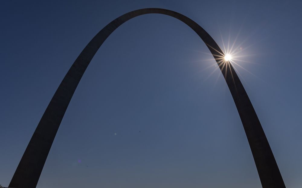
Beginning in 1935, the riverfront area of St. Louis saw its most dramatic transformation yet . It was designated the Jefferson National Expansion Memorial by executive order and its ownership was transferred to the National Park Service. The park service had big plans to revitalize the riverfront district with a grand monument to honor St. Louis’s role in westward expansion, but first, they wanted a clean slate. The buildings along the riverfront were demolished and the ground leveled. Construction of the stainless steel Gateway Arch structure began in 1963 and was completed in 1965. It now stands as a highly visible symbol of St. Louis.
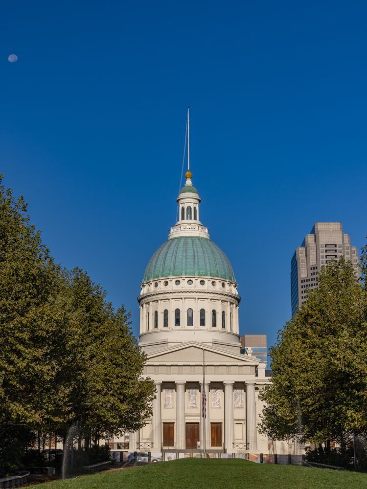
I had hoped to visit the Old Courthouse, also located within the Gateway Arch National Park, as it is not only architecturally interesting, it was the site of the first Dred Scott decision. However it is closed for major renovations.
Tomorrow I take a brief detour to Ironton, a small town in the Mark Twain Forest, close to the location of a couple of state parks.
The museum itself is very well done, and highlights some history that has yet to be covered in this blog. A main theme of this museum was questioning the morality and ethics of land acquisition. A large board in the main corridor proclaimed that “Every square mile of land in the Americas once belonged to American Indians. Since the first Europeans set foot on the continent, land was taken by treaty, occupation and warfare.” That is the boldest and most courageous statement I have seen yet. The curators of this museum are to be applauded.
As discussed in yesterdays blog post, St. Louis was first settled by the French. In 1763 , Louisiana's French governor, keen on spurring trade with Missouri River Indian tribes, granted Maxent, Laclede & Co. the right to establish a fur trading post on the Western bank of the Mississippi River. A group loaded up barges and poled up the Mississippi River, landing at the confluence of the Mississippi and Missouri rivers. They eventually selected a site 18 miles south, atop limestone bluffs along the Mississippi. For a while things were peaceful as the French traded with the Osage Nation as well as The Ioways, Kansas, Otos, Pawnees, Poncas, Omahas, and other tribes. In due time, the trading post became a village, then a city, named for King Louis IX of France, the crusader saint. Like other inland settlements, St. Louis prospered because of its location at the confluence of two great rivers, the first super highways.
Fully one third of St. Louis’ early inhabitants were enslaved. However, it is worth noting that Spanish slavery differed from that in Great Britain and the United States because it was rooted in Roman law. Slaves had the right to own property and were allowed to work for themselves on feast days and holidays, earning money which could be saved and eventually used to buy their freedom. The church was not segregated, and a slave's testimony was admissible in court. It could be argued that their situation was, perhaps, a bit more humane and an exit strategy was at least possible. As well, a small number of free Blacks lived in the area as Spanish citizens with full rights.
With the Louisiana Purchase - the bizarre transfer of the lands from Spain to France to the U.S. consummated in 1804, both enslaved persons and women lost rights and were subject to greater oppression. The Native peoples fared no better. Initially U.S. Forts were built along an imaginary border separating Tribal settlements from American settlements. The new western reservation contained both western tribes and those that had been moved from the east by the government. By the 1850s, the massive overland migrations to Oregon and California made the idealized Indian frontier obsolete. The government began shrinking Indian lands once more as Kansas and Nebraska were opened to settlement.
Because I did not methodically begin to visit history museums until a couple of months into this trip, some major southwest and western events have not yet been described. That accidentally works out rather well as I can now address them in their correct chronology. Some of the main events leading to the settlement of the Western U.S. are highlighted in this museum because St. Louis was a springboard for explorers and settlers heading the West, the most famous of which was the Federally funded Lewis and Clark expedition .
In 1803, Jefferson asked his secretary, Meriwether Lewis, to lead a mission to find an overland route to the Pacific and to stake a claim to the Northwest. Ideally, they hoped to find and “inside passage” - some sort of waterway that stretched to the West Coast. Lewis asked his former military commander and friend, William Clark, to join him. Congress was persuaded to fund the expedition "for purposes of commerce." In May 1804, Lewis, Clark, and a crew of about 50 set out from the St. Louis area up the Missouri River. The explorers gathered information on geography, natural resources, Native Americans and trade. Unfortunately, after crossing the Continental Divide, they were met with mountain ranges rather than an East-West river that they had hoped for. They persevered, arrived at the Pacific Ocean, and established a claim to Oregon Country (now Idaho, Oregon and Washington) for the U.S. They returned to St. Louis in September 1806, having gathered considerable scientific information about the country’s natural resources and about inhabitants.
Of course, the problem with Jefferson’s vision of westward expansion was that it viewed the West as an empty place to be filled by Anglo-Americans, when in fact it was already inhabited by a vast number of Native tribes as well as French and Spanish settlers.
In 1836 tensions escalated with Mexico after Texas declared itself to be an independent republic, the first step that eventually led to the Mexican-American war. After an annexation resolution by the U.S. Congress in 1845, Mexico severed diplomatic relations. In addition, President James Polk desperately wanted to add California to the U.S., which, in addition to making the U.S. the dominant continental power, would allow access to the Pacific Coastline and trade with Asia. In 1846 war was declared and in just over a year Mexico City was captured. Defeated, Mexico ceded its rights to the contested lands, for which the United States paid $15 million. Ratification of the Treaty of Guadalupe-Hidalgo in 1848 gave the U.S. continuous lands across the continent to the Pacific Ocean. This treaty ceded all Mexican lands north of the Rio Grande and Gila rivers, over a third of Mexico, to the U.S. Interestingly, many Americans, among then Ulysses S. Grant of Civil War fame, opposed the war as unjust, and an excuse to expand slave territory in the U.S.
The Mexican-American war was yet another precipitating event leading to the Civil War. While California was admitted to the Union as a free state , it was still geographically separated from the contiguous U.S. states in the East, South and Midwest. As such, it mostly supported the Union efforts with gold rather than troops.
In the 1840s through the 1860s, large groups of people began moving West, seeking land, fortune and religions freedom. Oregon and California were advertised as regions containing fertile farm land - if one could just get through the deserts and mountains that lay between the midwest and the west coast. The Mormons, forced to leave Nauvoo, Illinois because of persecution, sought religious freedom in Utah. And after the discovery of gold in California in 1848, large numbers of people from all over the world made their way west in an effort to get rich quick. Subsequent gold rushes also spurred westward expansion, first in 1850 in Colorado Territory and then again in 1859 at the Comstock Lode in Nevada Territory.
Sadly, history continued to repeat itself. For example. many of the first settlers in Oregon were Christian missionaries. The diseases carried by these early settlers and decimated native populations and led to deep distrust, suspicion, and fear of the Americans. This was poor repayment for the assistance many native peoples provided to the pioneers, many of whom were wholly unfamiliar with the dangers they could be facing as they traveled west. The wagon trains disrupted buffalo migrations, and left waste and debris in their wake. Predictably hostilities grew with each wave of settlers. When the first Europeans arrived in North America in 1492 the population of indigenous inhabitants was estimated to be between 9-12 million. By 1890, most of the remaining 248,000 lived on scattered reservations.
Disruption of trade routes along the Mississippi River during The Civil War and the eventual rise of the trans-continental railroad network marked the end of St. Louis as a dominant location for western Trade. The once thriving riverfront fell into disuse and disrepair. Even construction of the Eads Bridge, one of the first important steel structures, across the Mississipi in 1874 was not sufficient to rescue the demise. It might have hastened it, as it provided a way to reach the increasingly important city of Chicago by land rather than by water.
Beginning in 1935, the riverfront area of St. Louis saw its most dramatic transformation yet . It was designated the Jefferson National Expansion Memorial by executive order and its ownership was transferred to the National Park Service. The park service had big plans to revitalize the riverfront district with a grand monument to honor St. Louis’s role in westward expansion, but first, they wanted a clean slate. The buildings along the riverfront were demolished and the ground leveled. Construction of the stainless steel Gateway Arch structure began in 1963 and was completed in 1965. It now stands as a highly visible symbol of St. Louis.
I had hoped to visit the Old Courthouse, also located within the Gateway Arch National Park, as it is not only architecturally interesting, it was the site of the first Dred Scott decision. However it is closed for major renovations.
Tomorrow I take a brief detour to Ironton, a small town in the Mark Twain Forest, close to the location of a couple of state parks.
61 photo galleries
50 States
- Big Sur
- Salinas
- Laguna Beach
- San Diego
- California
- Grand Canyon
- Sedona
- Utah
- Syracuse
- Moab
- Denver
- Manitou Springs
- Calhan
- Mesa Verde
- Los Alamos
- Santa Fe
- Carlsbad
- New Mexico
- Eureka Springs
- Little Rock
- Birmingham
- Jackson
- Lottie
- Ten Thousand Islands
- Jerome
- Savannah
- White
- Asheville
- Sandstone Falls
- Baltimore
- Timonium
- Maryland
- Berlin
- Milton
- Smyrna
- Ocean City
- Detroit
- Upper Peninsula of Michigan
- Michigan
- Herod
- Ozark
- Two Harbors
- Carlton
- Madison County
- Oakley
- Valentine
- South Dakota
- United States
- Yellowstone National Park
- Lima
- Idaho
- Port Townsend
- Lincoln City
- Newport
- San Francisco