Roanoke
The Blue Ridge Parkway stretches 469 miles from Southeastern Virginia to Northeastern North Carolina. It is divided into four regions, variously from North to South: Ridge, Plateau, Highlands, Pisgah. I have now driven most of the Parkway. When I was in North Carolina I did much of the Highlands and Pisgah stretches, and in Virginia, almost the entire Ridge and Plateau stretches (with the exception of a portion closed due to rockslide).
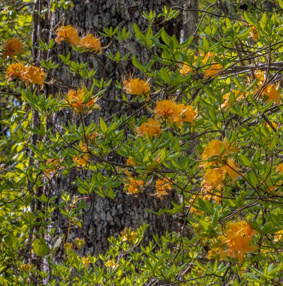
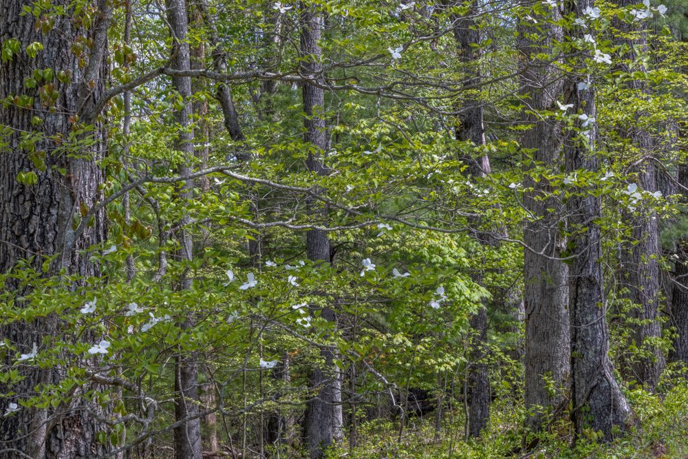
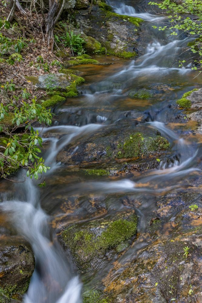
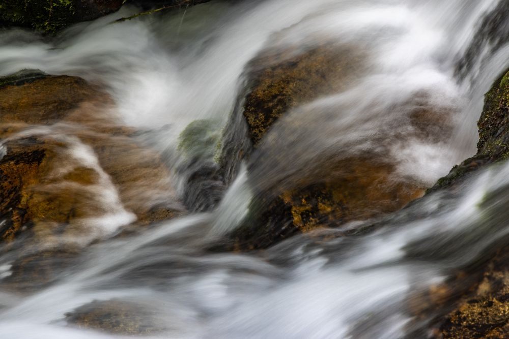
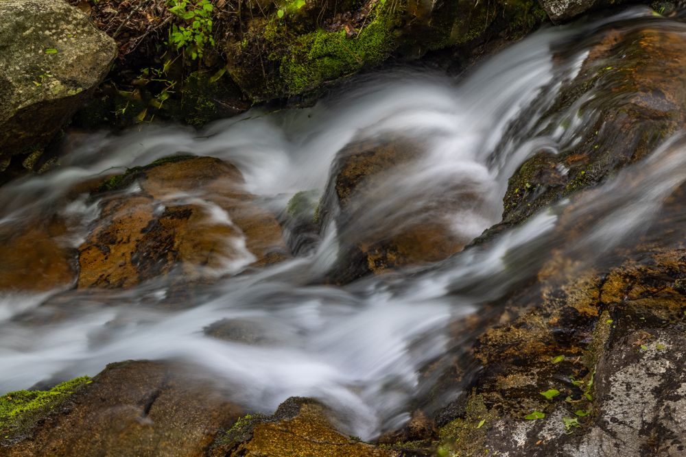
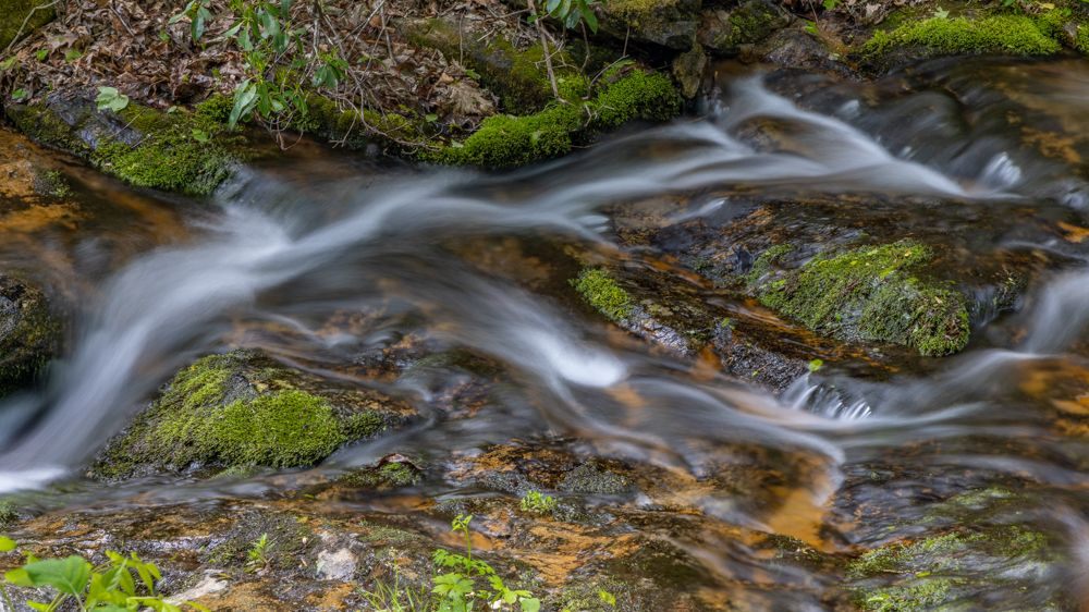
The Highlands and Pisgah region are by far the most interesting. The ridge region has some interesting sections. The Plateau regions, which I spent most of today driving is the least interesting section. It has no trails, no waterfalls, and borders quite a lot of private land that hosts houses and farms. Today was also sunny and mild. Nice for hiking, terrible for photography. I actually captured very few images today, and none under ideal conditions. While the white-out and rainy conditions are less comfortable, they make for far better photography.
In any event, it is time to leave both Virginia and the Blue Ridge Parkway and head North to West Virginia.


61 photo galleries
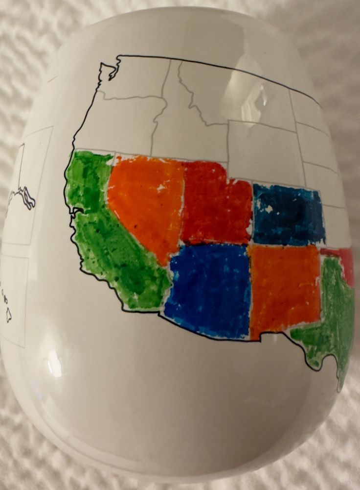
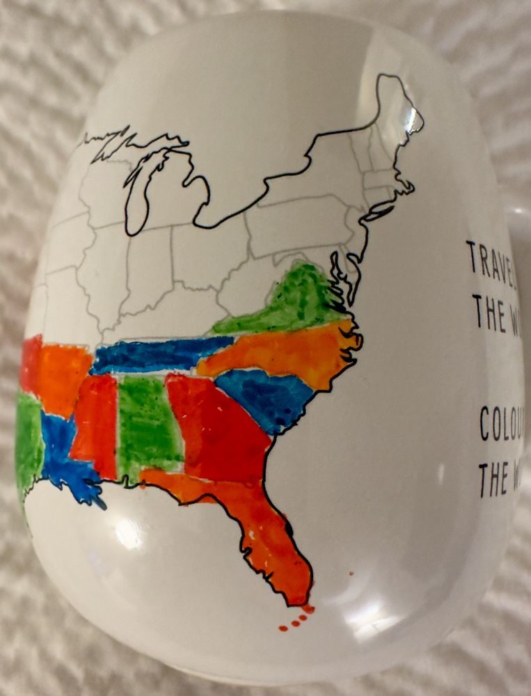
50 States
- Big Sur
- Salinas
- Laguna Beach
- San Diego
- California
- Grand Canyon
- Sedona
- Utah
- Syracuse
- Moab
- Denver
- Manitou Springs
- Calhan
- Mesa Verde
- Los Alamos
- Santa Fe
- Carlsbad
- New Mexico
- Eureka Springs
- Little Rock
- Birmingham
- Jackson
- Lottie
- Ten Thousand Islands
- Jerome
- Savannah
- White
- Asheville
- Sandstone Falls
- Baltimore
- Timonium
- Maryland
- Berlin
- Milton
- Smyrna
- Ocean City
- Detroit
- Upper Peninsula of Michigan
- Michigan
- Herod
- Ozark
- Two Harbors
- Carlton
- Madison County
- Oakley
- Valentine
- South Dakota
- United States
- Yellowstone National Park
- Lima
- Idaho
- Port Townsend
- Lincoln City
- Newport
- San Francisco